A New Way to See the Land
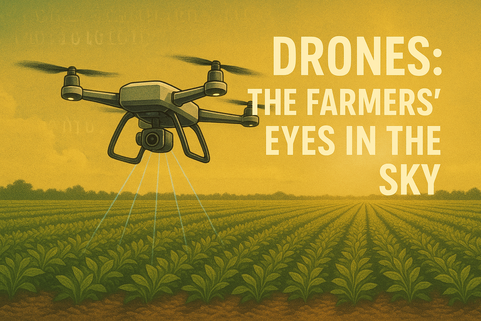
There was a time when farming relied entirely on instinct. A farmer would walk through the fields and touch the soil. They would watch the leaves. Farmers hoped that the coming days would bring the right mix of rain and sunshine. Observation was personal and physical, a relationship between human and land built on years of experience. But today, that relationship has expanded to the skies. Hovering silently above the crops are tiny machines that have given farming a completely new perspective. These are drones, the modern farmer’s eyes in the sky.
Drones are transforming agriculture into a data-driven science. They don’t just take photographs. They collect layers of information about plant health, soil moisture, and growth patterns. This is information that even the sharpest human eye can’t see. With just a few flights, drones can map hundreds of acres. They spot stressed plants and measure how crops respond to light, temperature, and water. In a world facing unpredictable weather and shrinking resources, drones are becoming essential partners in keeping farms productive and sustainable.
How Drones Understand Plants
At first glance, a green field looks uniform rows of plants swaying gently in the breeze. But from above, the story is much more complex. A drone equipped with advanced cameras and sensors can see what we can’t. It can detect the way light reflects off leaves, how much heat they release, and how much sunlight they absorb.
This is possible because of something called multispectral and thermal imaging. Multispectral sensors capture light beyond what our eyes can see in infrared and near-infrared wavelengths. Healthy leaves bounce light differently than stressed ones. When a plant lacks water or nutrients, its chlorophyll content drops slightly, and the leaf’s reflection pattern changes. The drone’s camera detects this tiny shift. It translates it into a color map. This map shows which areas of the field are thriving. It also shows which areas are struggling.
Thermal imaging goes one step further. When a plant begins to experience water stress, its leaves warm up because they lose less water through transpiration. Drones have thermal cameras that can detect these temperature changes instantly. They warn farmers of drought stress long before the plant starts to wilt. It’s like having a thermometer for every leaf, operating quietly from the air.
What makes this technology so powerful is its ability to cover large areas in minutes. A farmer once spent days inspecting an entire field. Now, the same job takes just half an hour with a drone. The process is far more precise and unbiased. The bird’s-eye view reveals patterns invisible from the ground. Sunlight, wind, or soil variations affect different parts of the field. It’s not just about pictures; it’s about understanding how plants live and interact with their environment.
Turning Pictures into Decisions
Collecting data is just the first step. What makes drones revolutionary is how that data is used. The images captured are processed through intelligent software that converts them into practical insights. Within minutes, a farmer can know which sections of the field are too dry. They can see which areas are lacking nutrients. They also find sections vulnerable to pests or disease.
This information feeds into a system known as precision agriculture. It’s a farming method that focuses on giving plants exactly what they need. It provides exactly what they need when they need it. Instead of watering the entire field equally, irrigation can be adjusted based on where the drone identifies moisture loss. Instead of applying fertilizer uniformly, nutrients can be targeted only to the areas that show deficiency. The result is more efficient farming saving water, reducing chemical use, and improving yield.
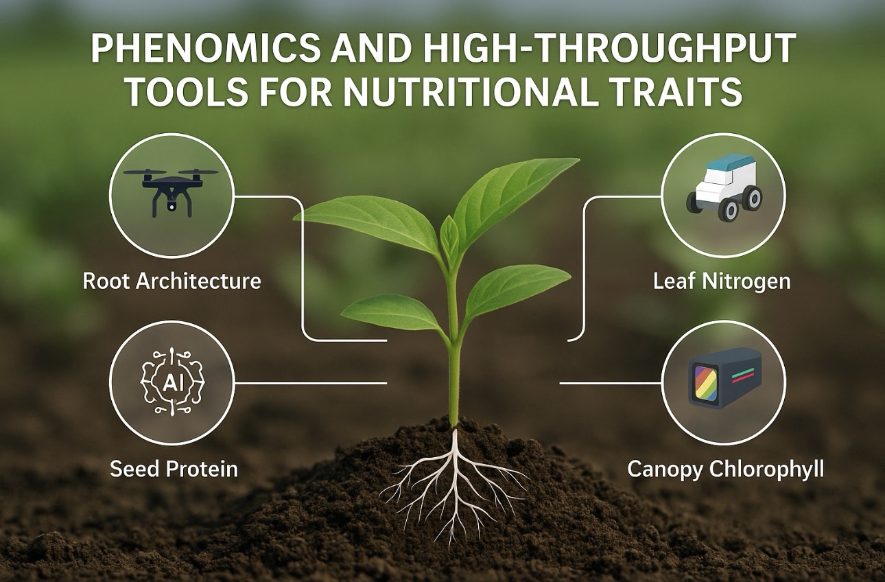
For plant scientists, drones are equally valuable. Researchers are using them to study plant physiology on a large scale. This helps scientists understand how plants respond to temperature, humidity, and soil conditions. In experimental plots, drones can record subtle changes in leaf color. They also capture variations in canopy density. This data allows scientists to track photosynthesis, stress responses, and growth rates across different varieties. What once required manual measurement with rulers and notebooks is now done with centimeter-level accuracy and real-time speed.
The Role of AI and Automation
The true intelligence behind modern drones lies in artificial intelligence. Drones are not just flying cameras; they are learning systems. They can analyze patterns, recognize signs of disease, and even predict problems before they happen. With each flight, the AI models become smarter. They compare current images with historical data. This helps detect early signs of stress or change.
In some advanced systems, drones can operate autonomously. They take off and fly over the field. They collect data and return to their charging station without human control. The information they gather is automatically uploaded to cloud-based platforms. AI software analyzes the data. It then sends alerts to the farmer’s phone or computer. It’s almost as if the field itself has learned to speak.
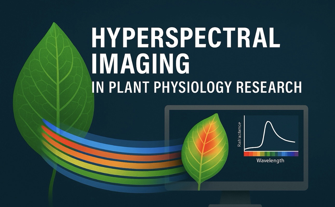
Hyperspectral imaging, an emerging technology, is pushing this even further. Unlike multispectral sensors that capture a handful of light wavelengths, hyperspectral cameras record hundreds. This means they can identify biochemical changes in plants early. These changes include variations in nitrogen or water content. They detect these changes before they become visible. By combining this with machine learning, researchers can model the early stages of stress, helping farmers take preventive action. In essence, drones are providing agriculture with predictive intelligence. They allow farmers to react before damage occurs rather than after.
A Bridge Between Science and Soil
The impact of drone technology reaches far beyond efficiency. It signifies a new bridge between plant science and everyday farming. Drones link what we know in laboratories with what happens in the field. They bring precision science to the hands of people who grow our food. They make complex plant physiology once confined to research papers which are a part of real-world decision-making.
In developing regions, drones are helping small farmers check crops in ways they never before. In large-scale commercial farming, they’re enabling data-driven management across thousands of hectares. Environmental agencies use them to track forest health, detect invasive species, and watch how vegetation recovers after droughts or fires. Drones are altering agriculture from rice paddies in Asia to vineyards in Europe. They are also making an impact in wheat fields in Australia.
The Future of Farming from the Sky
As technology evolves, the future of drones in agriculture will be even more integrated. The next generation of drones will not only observe but act. They will spray water or nutrients precisely where needed. These drones will plant seeds autonomously. They will also work hand-in-hand with other robotic systems on the ground. Together, they will create farms that are self-monitoring and self-correcting — ecosystems guided by both biology and artificial intelligence.
Beyond science and technology, drones remind us of something timeless. They reflect the human desire to see and understand nature more deeply. By rising above the fields, drones give us perspective, not just on crops but on our connection to the earth. They show us that innovation and sustainability can grow side by side, rooted in knowledge and lifted by imagination.
So next time you see a small drone flying over a green field, think of it not as a machine. See it as a partner. It’s a silent observer helping the farmer read the language of plants written across the landscape. These are not just eyes in the sky. They are storytellers. They capture the pulse of life from above. They send it back to the ground where it all begins.